Von Dysi hochgeladene Dateien
Zur Navigation springen
Zur Suche springen
Diese Spezialseite listet alle hochgeladenen Dateien auf.
| Datum | Name | Vorschaubild | Größe | Beschreibung | Versionen |
|---|---|---|---|---|---|
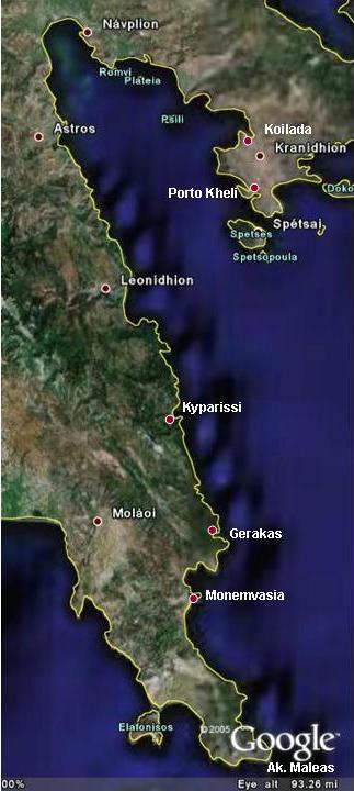
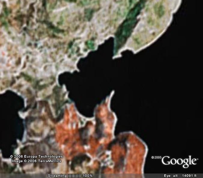
| 11:10, 2. Sep. 2006 | Argolischer Golf Sat Txt.jpg (Datei) |  |
41 KB | Der Argolische Golf (c) Google Earth 2006 | 1 |
| 19:54, 1. Sep. 2006 | Kythira Wrack2.jpg (Datei) |  |
34 KB | Vk.Makrónisos vor Diakofti, Kythira | 1 |
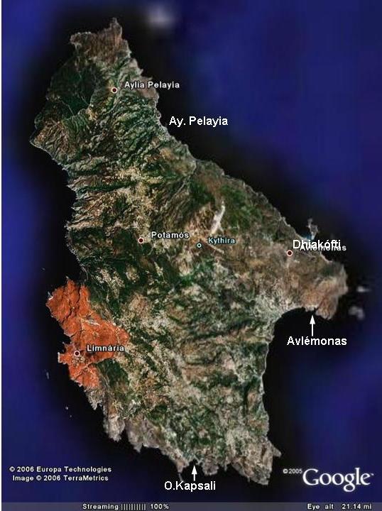
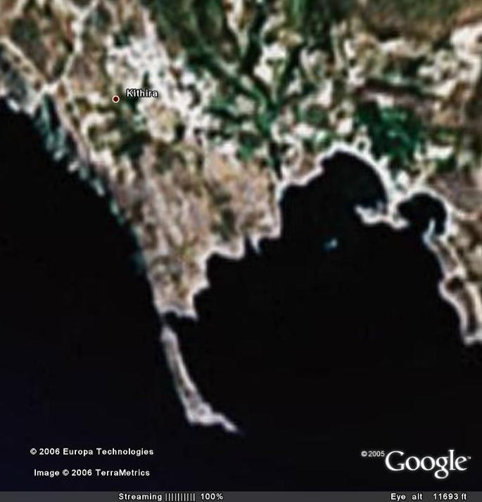
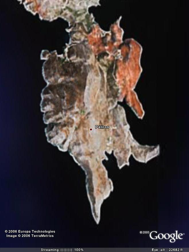
| 19:26, 1. Sep. 2006 | Kythira Sat Txt.jpg (Datei) |  |
63 KB | Ns. Kythira (c) Google Earth 2005 | 1 |
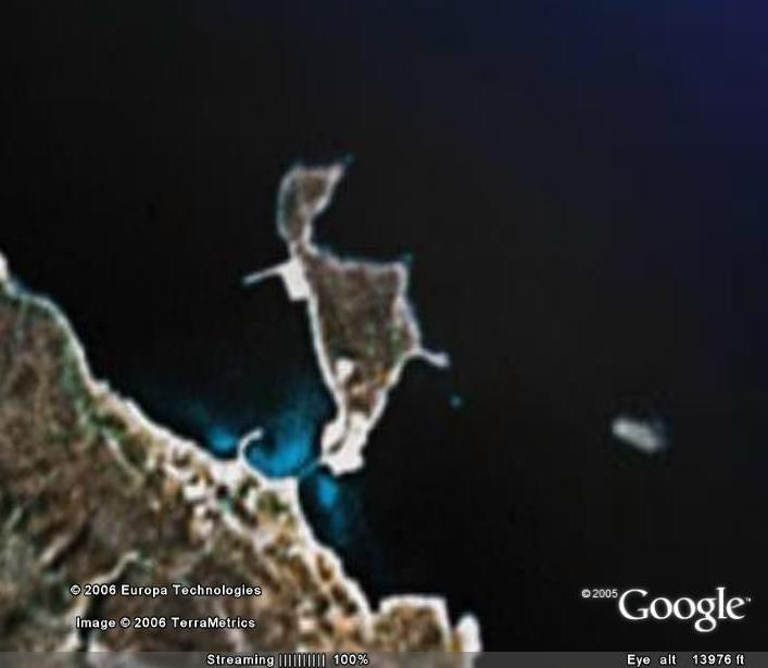
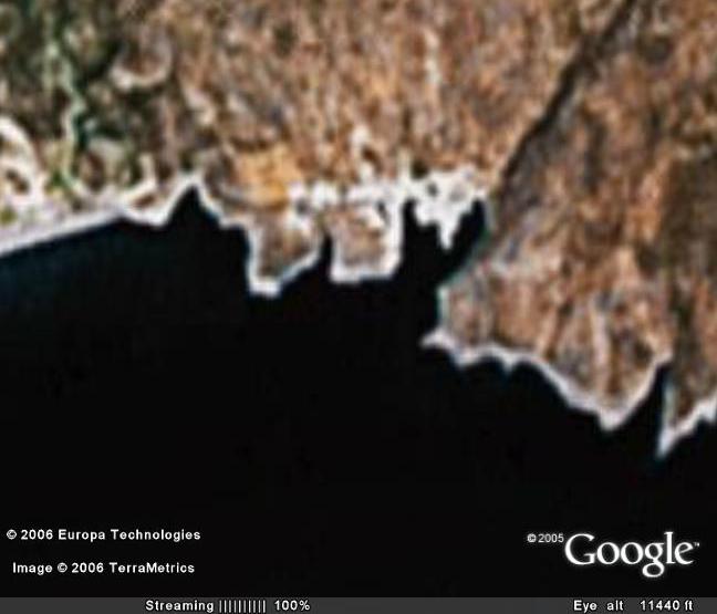
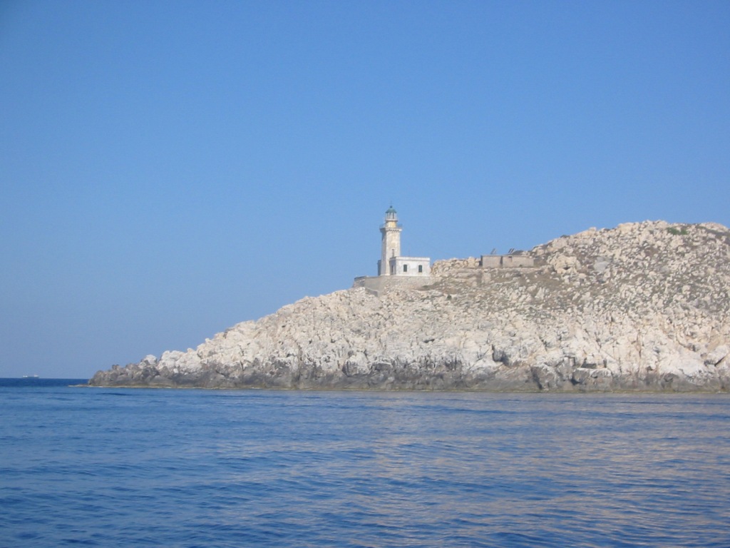
| 19:01, 1. Sep. 2006 | Kythira Diakofti.jpg (Datei) |  |
29 KB | Ln. Diakofti (c) Google Earth 2005 | 1 |
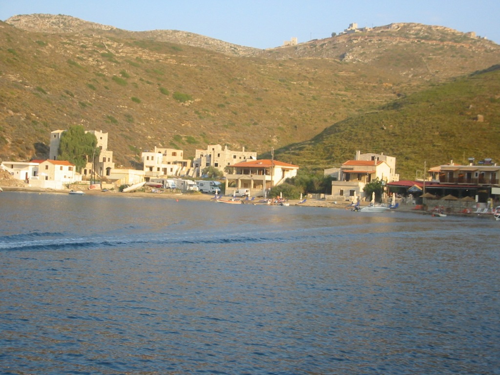
| 18:51, 1. Sep. 2006 | Avlemonas Sat.jpg (Datei) |  |
34 KB | Ln. Avlémonas (c) Google Earth 2006 | 1 |
| 18:48, 1. Sep. 2006 | Kapsali Sat.jpg (Datei) |  |
45 KB | Ln. Kapsali (c) Google Earth 2005 | 1 |
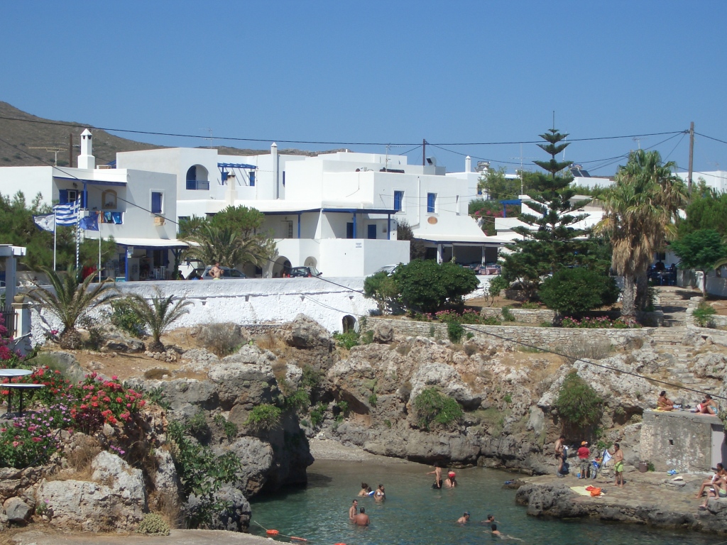
| 18:44, 1. Sep. 2006 | Avlemonas Ort2.jpg (Datei) |  |
461 KB | Avlemonas oberhalb des "Stadtbades". Links bei den Fahnen der Minimarkt | 1 |
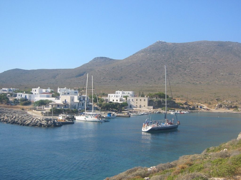
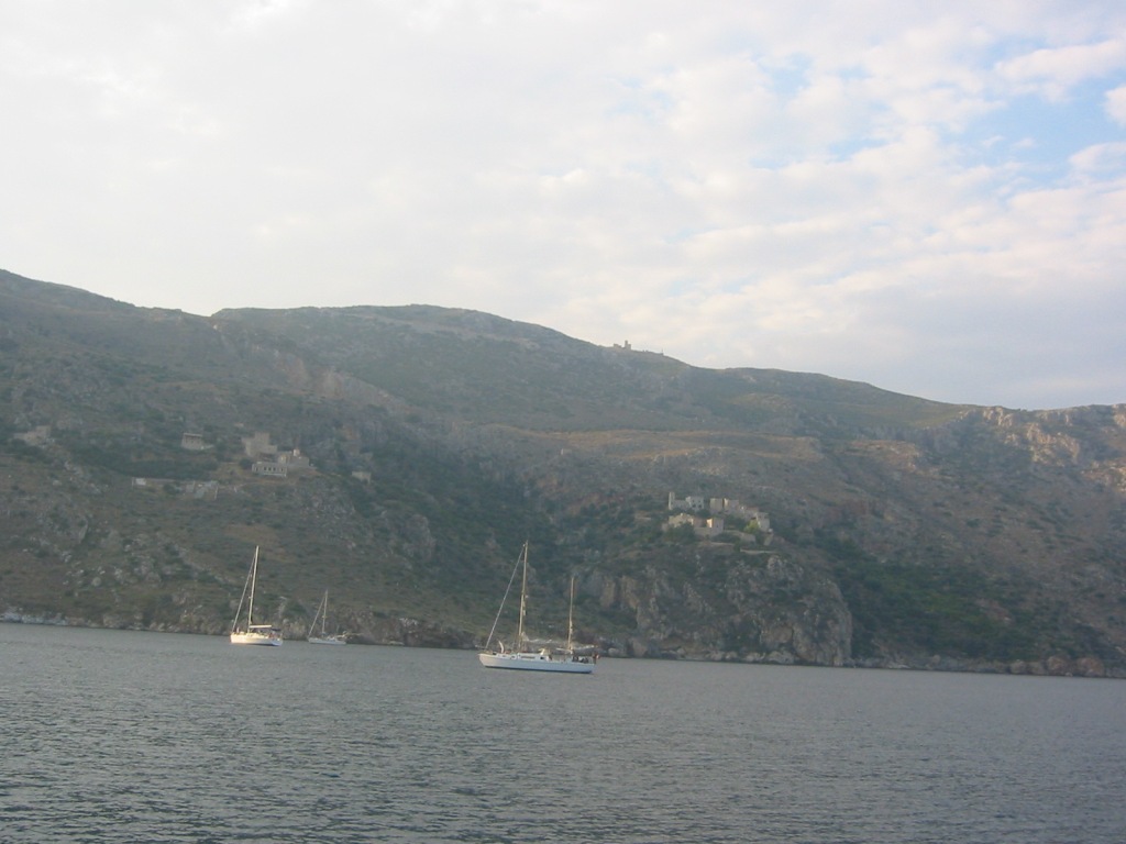
| 18:31, 1. Sep. 2006 | Avlemonas 1.jpg (Datei) |  |
186 KB | Der Hafen von Avlemonas | 1 |
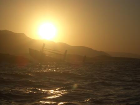
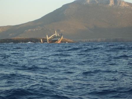
| 17:47, 1. Sep. 2006 | Kythira Diakofti Wrack1.jpg (Datei) |  |
54 KB | Wrack auf Vk.Makrónisos vor Diakofti | 1 |
| 22:27, 31. Aug. 2006 | AkTainaro 2.jpg (Datei) |  |
168 KB | Ak. Tainaro | 1 |
| 22:26, 31. Aug. 2006 | AkTainaro 1.jpg (Datei) |  |
165 KB | Ak. Tainaro | 1 |
| 22:04, 31. Aug. 2006 | Tainaro Sat.jpg (Datei) |  |
46 KB | Ak. Tainaro (c) Google Earth 2005 | 1 |
| 21:43, 31. Aug. 2006 | Kagio Ort.jpg (Datei) |  |
236 KB | Die Ortschaft im Süden | 1 |
| 21:41, 31. Aug. 2006 | Kagio N.jpg (Datei) |  |
147 KB | Nordflanke, mit dem Kloster und der Siedlung | 1 |
| 21:39, 31. Aug. 2006 | Kagio Einfahrt.jpg (Datei) |  |
142 KB | Einfahrt nach Porto Kagio | 1 |
| 21:19, 31. Aug. 2006 | PortoKagio Sat.jpg (Datei) |  |
42 KB | Porto Kagio (c) Google Earth 2005 | 1 |
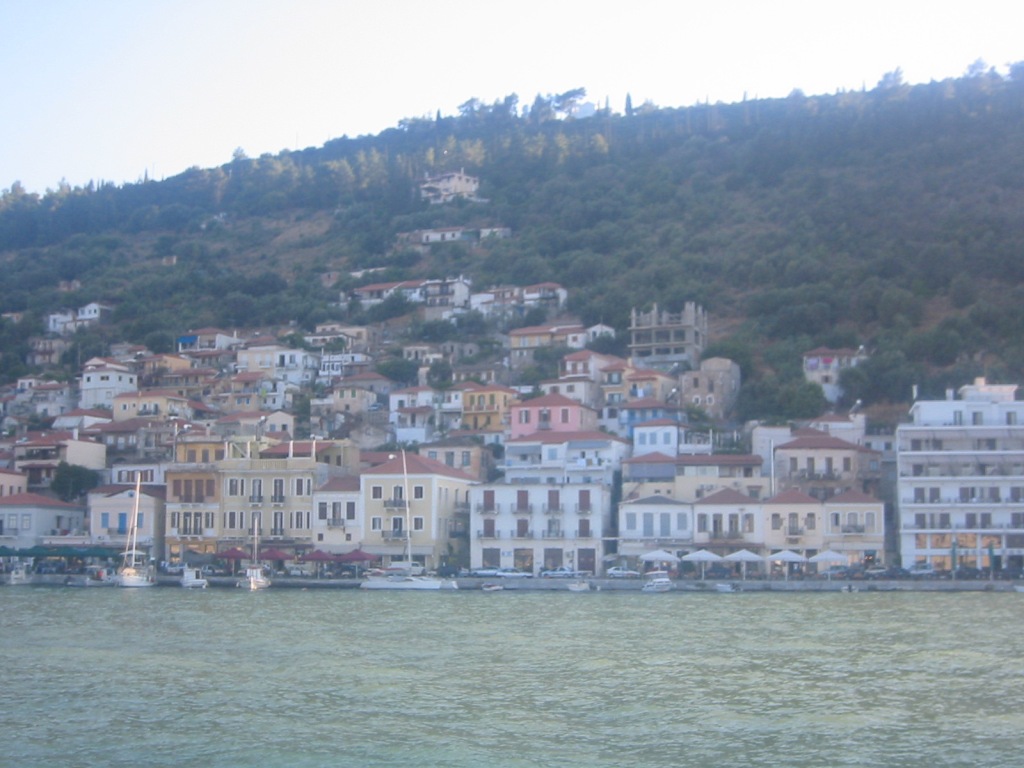
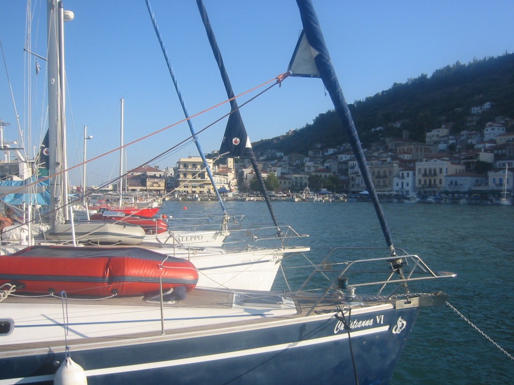
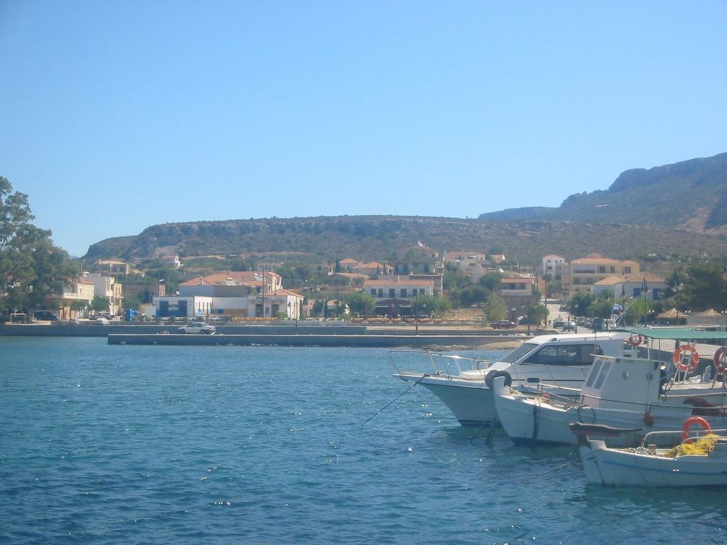
| 21:00, 31. Aug. 2006 | Githion Hafen2.jpg (Datei) |  |
179 KB | Gythion Hafen | 1 |
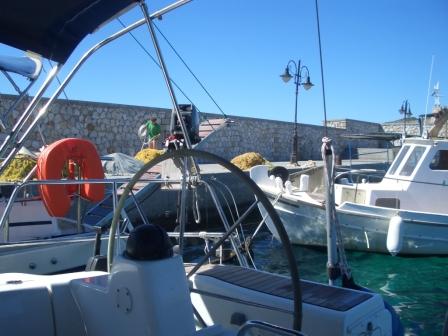
| 20:59, 31. Aug. 2006 | Githion Hafen.jpg (Datei) |  |
208 KB | Das innere Hafenbecken | 1 |
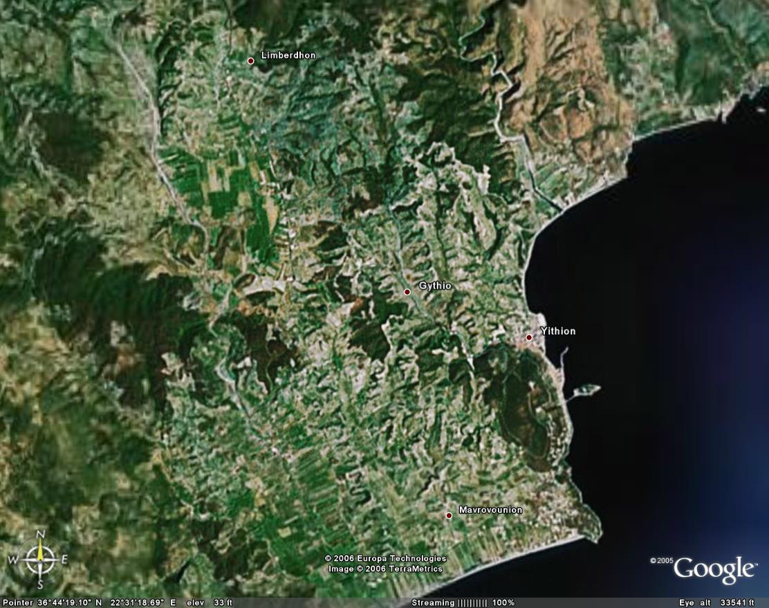
| 20:48, 31. Aug. 2006 | Githion Sat.jpg (Datei) |  |
152 KB | Hafen Gythion (c) Google Earth 2005 | 1 |
| 20:21, 31. Aug. 2006 | Plitra Mole3.jpg (Datei) |  |
60 KB | Die äußere Mole | 1 |
| 20:20, 31. Aug. 2006 | Plitra Mole2.jpg (Datei) |  |
86 KB | An der Mole | 1 |
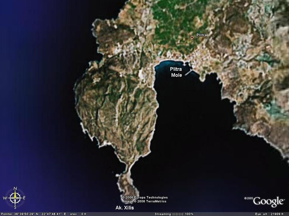
| 20:15, 31. Aug. 2006 | Plitra Sat Txt.jpg (Datei) |  |
68 KB | O. Xilis mit Ln. Plitra (c) Google Earth 2005 | 1 |
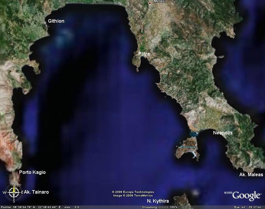
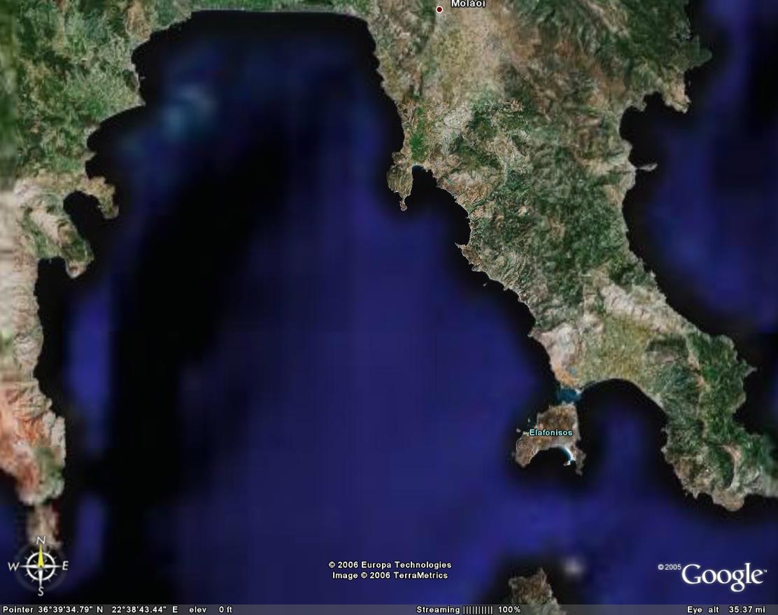
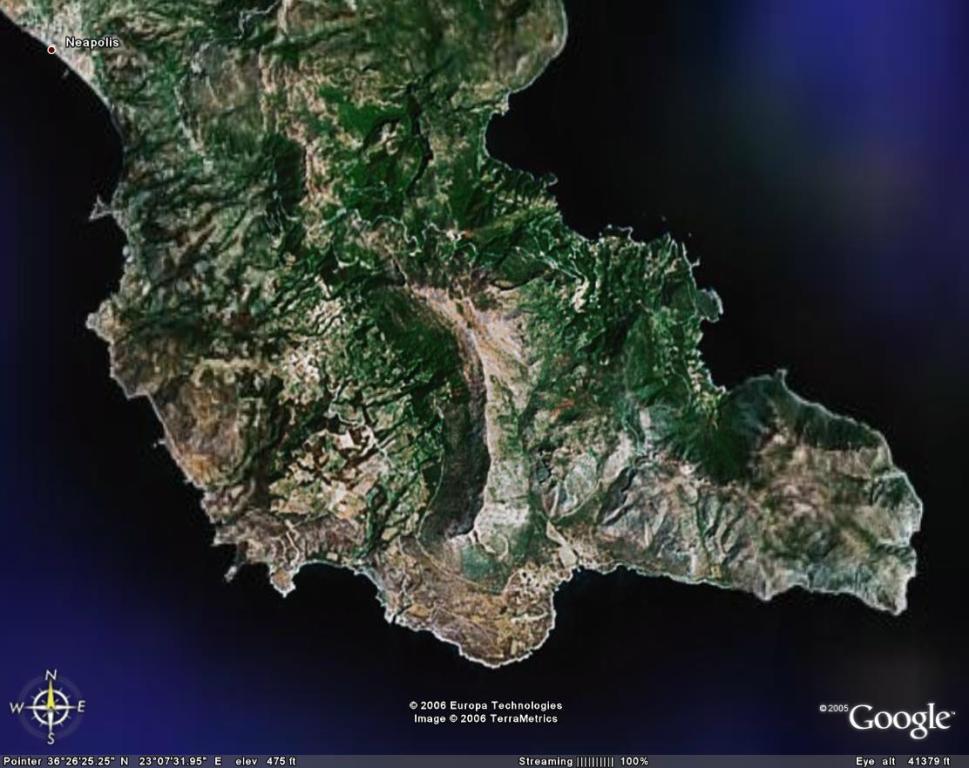
| 19:52, 31. Aug. 2006 | LakonischerGolf Sat.jpg (Datei) |  |
71 KB | Der Lakonische Golf (c) Google Earth 2005 | 1 |
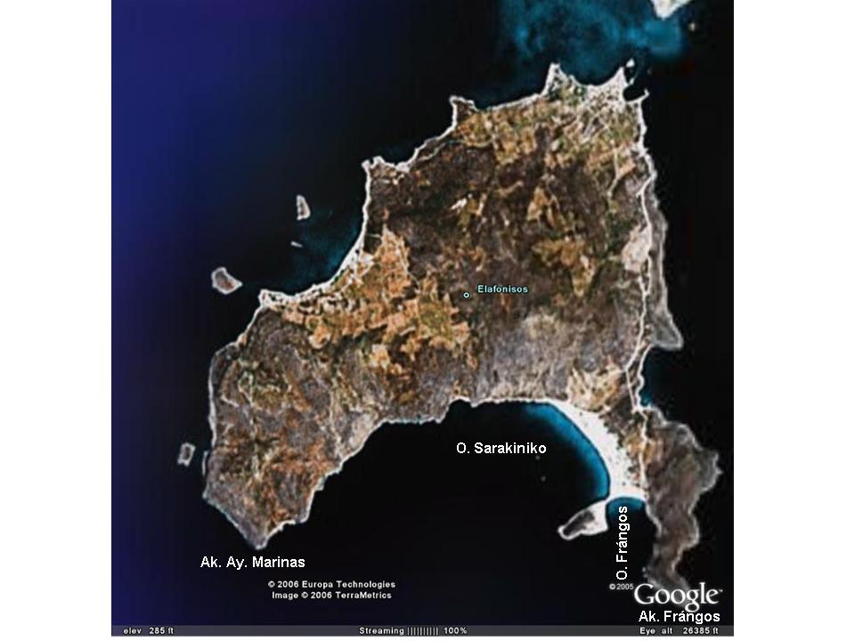
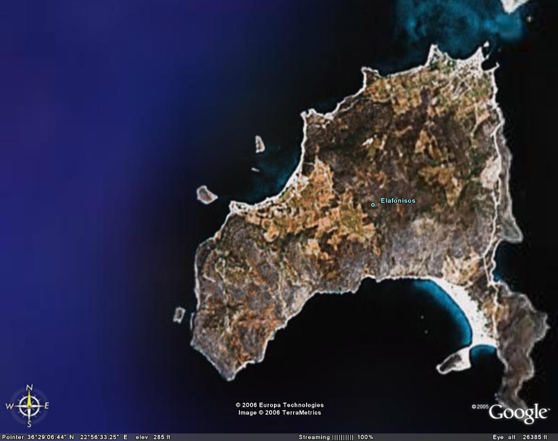
| 19:41, 31. Aug. 2006 | Elafonisos Sat Txt.jpg (Datei) |  |
64 KB | N. Elafonisos (C) Google Earth 2005 | 1 |
| 19:20, 31. Aug. 2006 | Elafonisos Wrack.jpg (Datei) |  |
186 KB | Ak. Ay. Marinas samt Wrack | 1 |
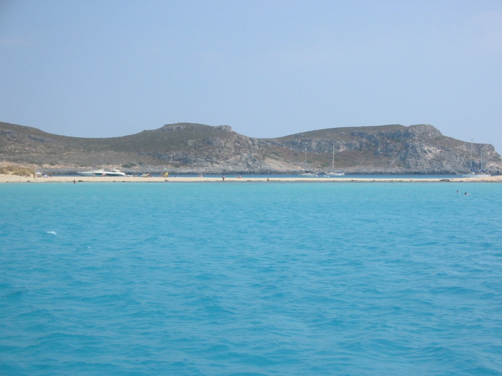
| 19:18, 31. Aug. 2006 | Elafonisos Sandbank.jpg (Datei) |  |
151 KB | Blick nach Südosten aus der O. Sarakiniko über die Sandbank in die O. Frángos und zum Massiv des Ak. Frángos | 1 |
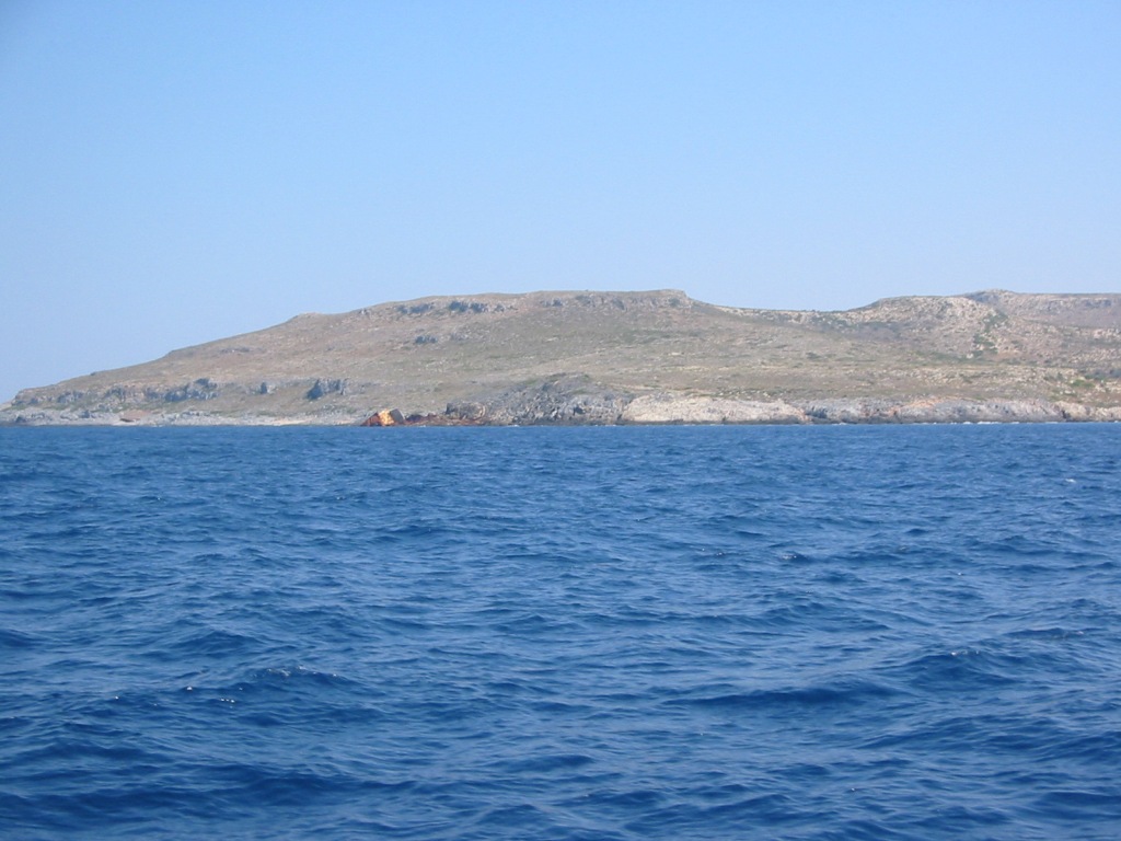
| 19:11, 31. Aug. 2006 | Elafonisos W.jpg (Datei) |  |
160 KB | Blick aus der O. Sarakiniko nach Westen, zum Ak. Ay. Marínas | 1 |
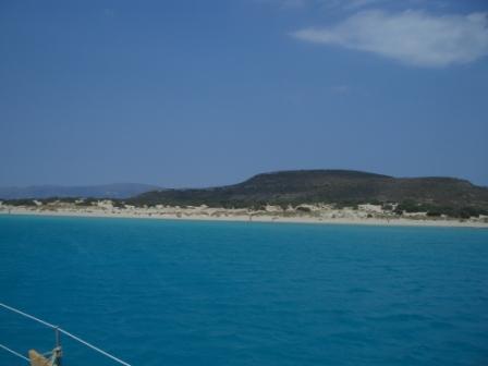
| 15:20, 31. Aug. 2006 | Elafonisos Strand.jpg (Datei) |  |
30 KB | Sandstrand und Dünen | 1 |
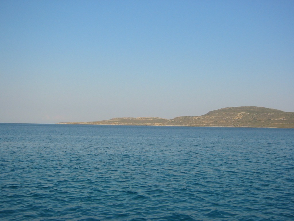
| 15:19, 31. Aug. 2006 | Elafonisos Kythira2.jpg (Datei) |  |
34 KB | Kythira von O.Marinas/Elafonisos aus | 1 |
| 15:18, 31. Aug. 2006 | Elafonisos Kythira.jpg (Datei) |  |
36 KB | Kythira von O.Marinas/Elafonisos aus | 1 |
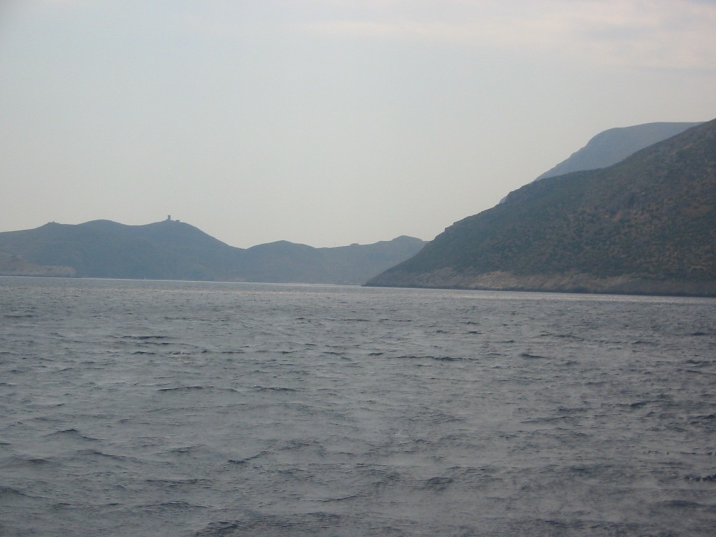
| 15:12, 31. Aug. 2006 | Kyparissi S AkNisaki.jpg (Datei) |  |
39 KB | Einfahrt nach Kyparissi, Ak. Nisaki, rechts davon die Südbuchten | 1 |
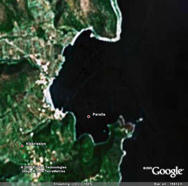
| 15:11, 31. Aug. 2006 | Kyparissi Paralia.jpg (Datei) |  |
49 KB | Paralia | 1 |
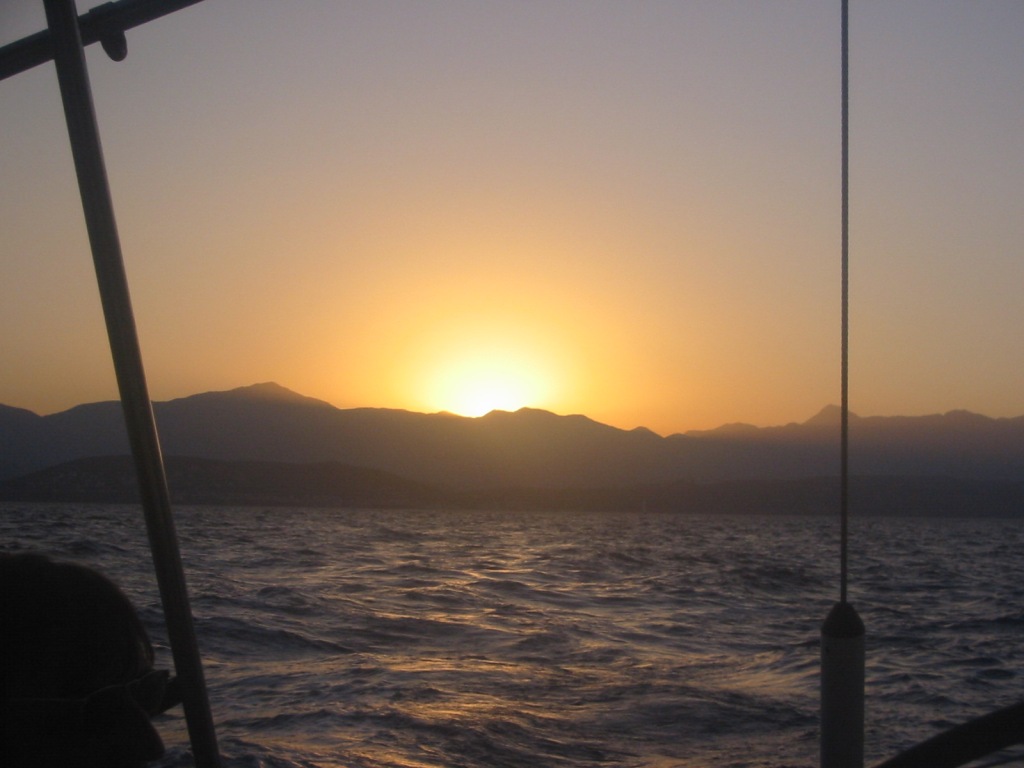
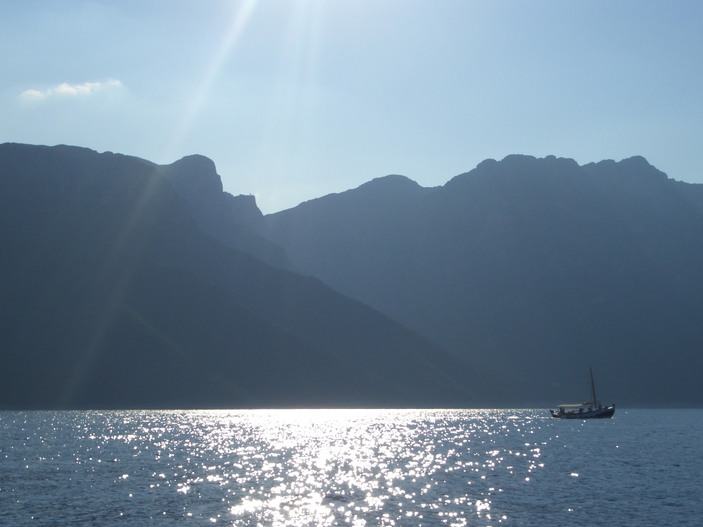
| 15:05, 31. Aug. 2006 | LakonikosKolpos Sunset.jpg (Datei) |  |
126 KB | Abend über dem Lakonischen Golf, von Gythion nach Plitra | 1 |
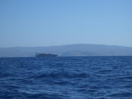
| 14:59, 31. Aug. 2006 | ArgolischerGolf Peloponnes Ostküste.jpg (Datei) |  |
397 KB | Peloponnes Ostküste | 1 |
| 10:25, 31. Aug. 2006 | Elafonisos Sat.jpg (Datei) |  |
80 KB | N. Elafonisos im Überblick (C) Google Earth 2005 | 1 |
| 22:22, 30. Aug. 2006 | LakonischerGolf.jpg (Datei) |  |
91 KB | Der Lakonische Golf | 1 |
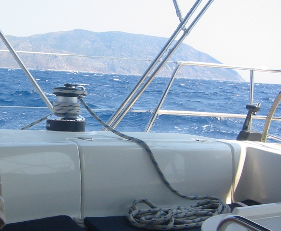
| 21:52, 30. Aug. 2006 | Maleas Melt.jpg (Datei) |  |
152 KB | Ak. Maleas bei mäßigem Meltemi | 1 |
| 21:11, 30. Aug. 2006 | Maleas Sat.jpg (Datei) |  |
93 KB | Ak. Maleas (c) Google Earth 2005 | 1 |
| 20:51, 30. Aug. 2006 | Monemvasia S.jpg (Datei) |  |
163 KB | Der südliche Ankerplatz, dahinter Gefira, der Fischerhafen und ganz links die Einfahrt in die "Marina" | 1 |
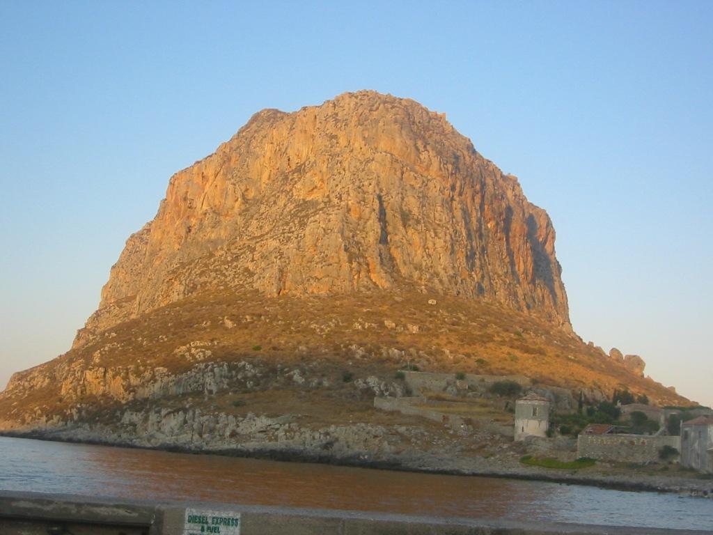
| 20:32, 30. Aug. 2006 | Monemvasia O.jpg (Datei) |  |
88 KB | Die Insel Monemvasia von Osten, von der N-Mole aus | 1 |
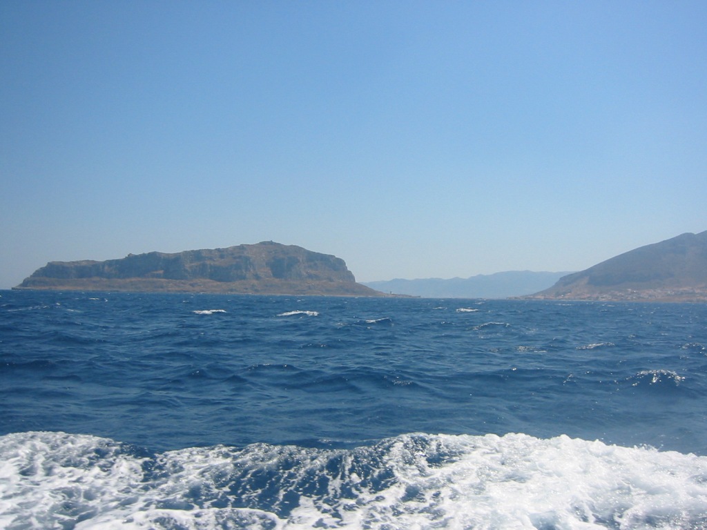
| 20:28, 30. Aug. 2006 | Monemvasia N.jpg (Datei) |  |
165 KB | Ansicht von Norden | 1 |
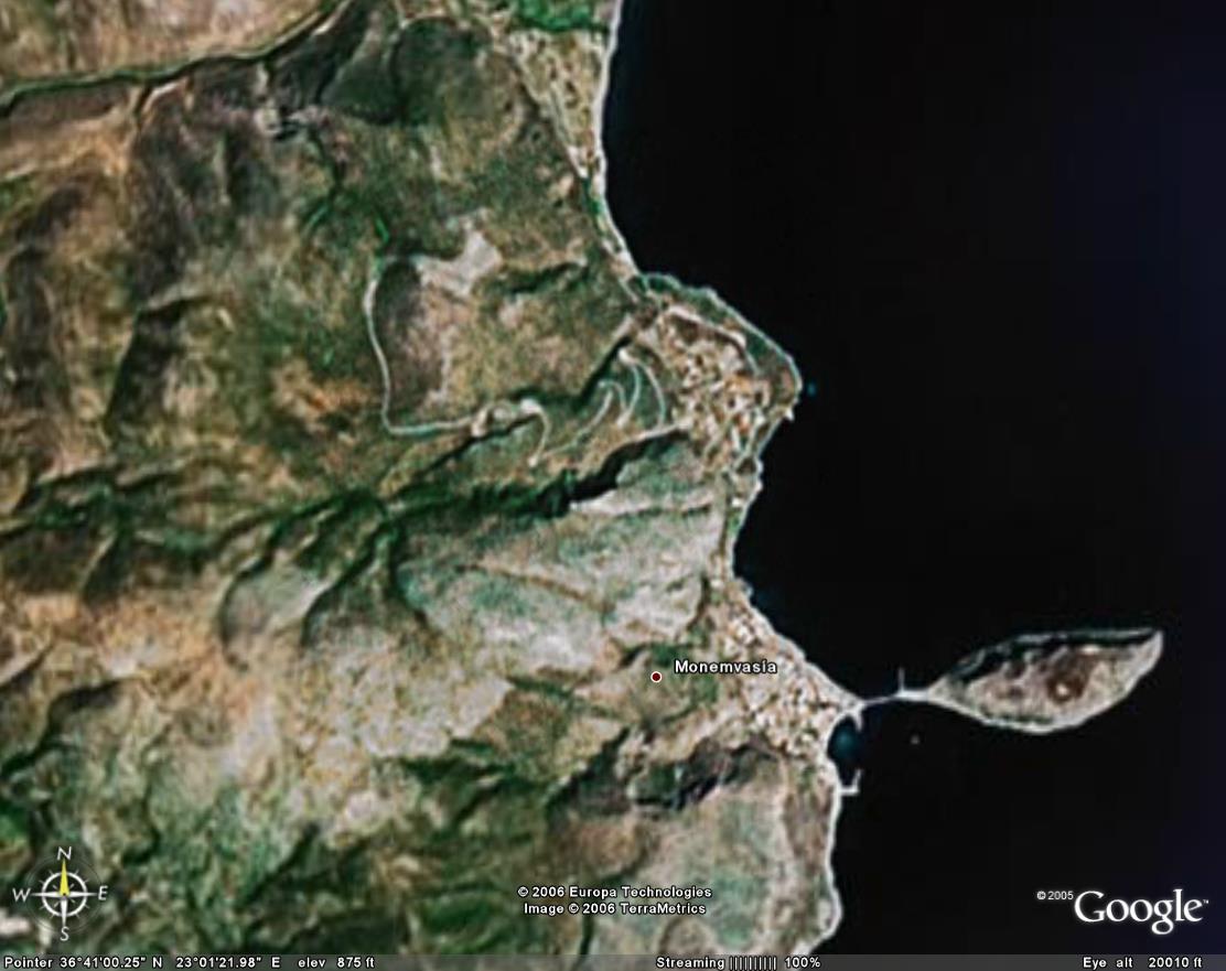
| 20:24, 30. Aug. 2006 | Monemvasia Sat2.jpg (Datei) |  |
35 KB | Monemvasia im Überblick (c) Google Earth 2005 | 1 |
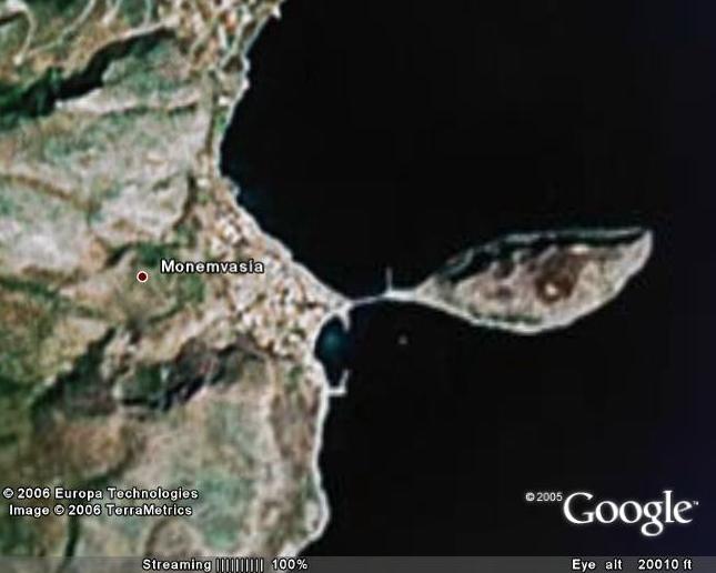
| 20:11, 30. Aug. 2006 | Monemvasia Sat.jpg (Datei) |  |
98 KB | Monemvasia Überblick (c) Google Earth 2005 | 1 |
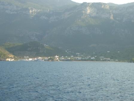
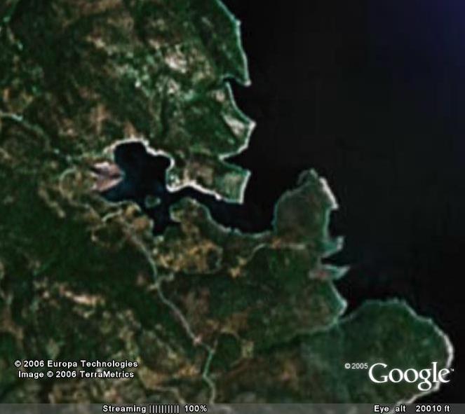
| 11:33, 30. Aug. 2006 | Gerakas.jpg (Datei) |  |
78 KB | Der Hafen Gerakas von der Einfahrt aus. An der alten Fährmole (Wohnmobil) liegt ein Fischer, vor der Taverne liegt eine Flottille. | 1 |
| 11:31, 30. Aug. 2006 | Gerakas Sat.jpg (Datei) |  |
38 KB | Ln. Gerakas (c) GoogleEarth 2005 | 1 |
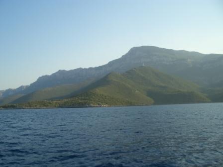
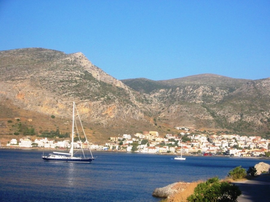
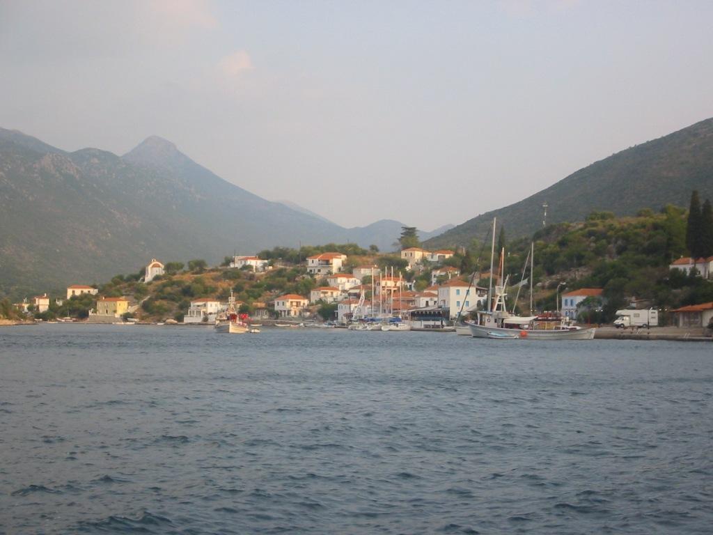
| 10:57, 30. Aug. 2006 | Kyparissi.jpg (Datei) |  |
52 KB | O. Kyparissi (c) GoogleEarth 2005 | 1 |
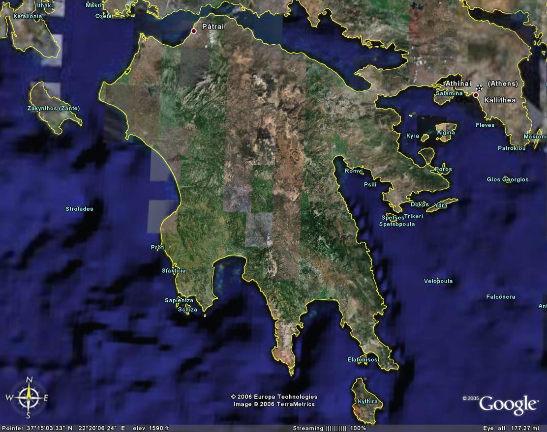
| 10:42, 30. Aug. 2006 | Argolischer Golf.jpg (Datei) |  |
51 KB | Der Argolische Golf und die Ostküste des Peloponnes bis Ak. Maleas (c) Google Earth 2005 | 1 |
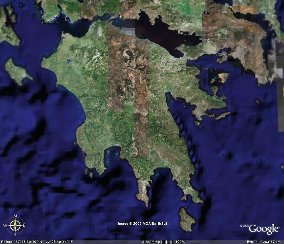
| 09:54, 30. Aug. 2006 | Peloponnes2.jpg (Datei) |  |
147 KB | Der Peloponnes (c) GoogleEarth 2005 | 1 |
| 09:45, 30. Aug. 2006 | Peloponnes.jpg (Datei) |  |
106 KB | Der Peloponnes (c) Google Earth 2005 | 1 |
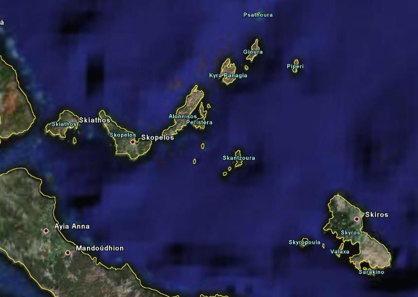
| 09:37, 30. Aug. 2006 | Sporaden.jpg (Datei) |  |
46 KB | Die Sporaden aus 95 km Höhe (c) Google 2005 | 1 |